SPECIAL WEATHER STATEMENT
ENVIRONMENT CANADA
**************************
Special weather statement in effect for:
- North Bay - Powassan - Mattawa
- West Nipissing - French River
- Burk's Falls - Bayfield Inlet,
- Huntsville - Baysville, Ont
- Témiscaming area, Que
- Agawa - Lake Superior Park
- Sault Ste. Marie - St. Joseph Island
- Searchmont - Montreal River Harbour - Batchawana Bay
- Timmins - Cochrane - Iroquois Falls
- Wawa - Pukaskwa Park
- White River - Dubreuilville
A winter storm is expected to develop over the United States central plains on Monday and track northeastward reaching the Great Lakes late Tuesday night.
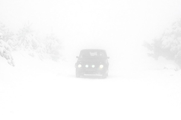
The storm is expected to bring periods of heavy snow and blowing snow across northeastern Ontario starting Tuesday night and into Wednesday.
At this time, estimated snow accumulations of 10 centimetres by the end of Wednesday are possible but may change if the track of this developing system shifts.
Areas located east of Lake Superior to the Quebec border could see the snow mixed at times with ice pellets along with the risk of freezing rain.
Gusty winds are expected to accompany this approaching storm.
Hence, there is the potential for significant reduction in visibility due to snow and blowing snow which may impact travel.
Please continue to monitor alerts and forecasts issued by Environment Canada. To report severe weather, send an email to [email protected] or tweet reports to #ONStorm.
**************************