Skip to content

We're getting warmer. Up next - a lot of snow

ENVIRONMENT CANADA WEATHER ALERT ************************ Snowfall warning issued for: White River - Dubreuilville - Wawa - Pukaskwa Park - Agawa - Lake Superior Park - Searchmont - Montreal River Harbour - Batchawana Bay - Sault Ste. Marie - St.

ENVIRONMENT CANADA

WEATHER ALERT

************************
Snowfall warning issued for: White River - Dubreuilville - Wawa - Pukaskwa Park - Agawa - Lake Superior Park - Searchmont - Montreal River Harbour - Batchawana Bay - Sault Ste. Marie - St. Joseph Island

Current details: 

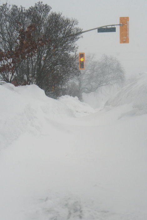
15 cm snow likely starting today.

An Alberta clipper is expected to track across the Great Lakes today into Saturday.

This low pressure system will bring an end to the bitterly cold temperatures which have been occurring.

Current information suggests 15 cm of snow is likely for regions along the Trans Canada highway by tonight and across the regions near Lake Superior tonight into Saturday.

A bitterly cold Arctic ridge of high pressure has established itself across Northern Ontario.
 
However, the winds have become light and the wind chill warning has ended.

Refer to your local public forecast for further details.
 
*************************
Wind chill warning ended for: - Greater Sudbury and vicinity - Blind River - Thessalon - Espanola - Killarney - Manitoulin Island

Current details: The weather conditions which prompted the wind chill warning have now ended or moved out of the area.

A bitterly cold Arctic ridge of high pressure has established itself across Northern Ontario.

However, the winds have become light and the wind chill warning has ended.

Refer to your local public forecast for further details.

More details on the alert are available here.

*************************


What's next?


If you would like to apply to become a Verified reader Verified Commenter, please fill out this form.