 WEATHER STATEMENT
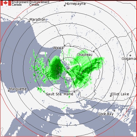
Poor visibilities in blowing snow continues tonight.
Strong southwest winds gusting to 70 km/h combined with moderate snow fall are expected to produce prolonged periods of visibilities less than half a kilometre in snow and blowing snow.
Winds and snowfall are expected to taper off late this evening over Superior East regions but will continue into this tonight north of Georgian Bay.
Driving conditions could become hazardous and motorists should exercise caution when venturing out on the highways.
Wind chill warning continued for Manitouwadge - Hornepayne
Developing brisk northwest winds and clearing skies are expected to bring temperatures down to near minus thirty degrees tonight.
Wind chill values are expected to be near minus 40 during the late overnight period tonight and early Saturday morning.
*************************