The following severe thunderstorm watch has been issued tonight by Environment Canada for Elliot Lake - Ranger Lake.
Similar watches are in effect for the Greater Sudbury and North Bay West Nipissing regions, as well Gogama - Foleyet - Kirkland Lake - Englehart - New Liskeard - Temagami.
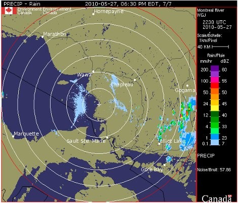
************************* At 5:30 PM weather radar shows an area of locally severe thunderstorms between Sudbury and North Bay near Highway 17.
Some of these storms are capable of producing hail of two centimetres in diameter and wind gusts to 90 km/h.
There is also a possibility of brief torrential downpours.
These thunderstorms will likely persist for the next few hours.
This is a warning that severe thunderstorms are imminent or occurring in these regions.
Remember some severe thunderstorms produce tornadoes.
Listen for updated warnings.
Emergency Management Ontario recommends taking cover immediately when threatening weather approaches.
Thunderstorms continue to develop this evening.
Some of these storms may become severe with local rainfall amounts exceeding 50 millimetres or more in one hour.
Wind gusts approaching 90 km/h are also possible with these storms.
Hail of one to two centimetres in diameter is also a threat.
*************************