SooToday.com received the following note tonight about a "small tornado" or "microburst" from faithful reader Mike Chikoski.
Rosemary Tabory from Environment Canada's Ontario Storm Prediction Centre advises SooToday.com that there was probably no tornado or microburst here, just strong straight-line winds, which were recorded gusting between 56 and 83 kilometres an hour at the Sault Ste. Marie Airport shortly after 9 p.m.
The winds were associated with a cold front passing through the area, Taboury says.
If you witnessed extreme weather tonight, photos, videos and/ or written accounts can be sent to [email protected]
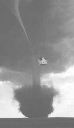
************************* Hi. I live on Wellington Street East by Pine and at around 9:15 p.m., the wind picked up and my wife and I watched a small tornado or as they call it, a microburst, head right toward our house.
It sounded like a freight train coming through and the windows were starting to push in from the strength of the wind.
As a result of the strong wind for about one minute, it snapped an amateur radio antenna in half.
Half of the antenna is metal and half of it is fibreglass.
Also it ripped eavestroughs off our house.
Thought I would let you know.
- Mike Chikoski
************************* Special weather statement - Environment Canada
Special weather statement issued for:
Sault Ste. Marie - Superior East Elliot Lake - Ranger Lake Manitoulin - Northshore - Killarney Chapleau - Gogama Kenora - Nestor Falls Dryden - Ignace Fort Frances - Rainy Lake Red Lake - Ear Falls Sioux Lookout - Savant Lake Greater Sudbury and vicinity North Bay - West Nipissing
An intensifying fall storm out of the American southwest will track across Northern Ontario tonight.
Precipitation ahead of this system continues over Northwestern Ontario and will taper off overnight.
Upwards of 30 millimetres of rain have already fallen in parts of the northwest, total amounts may approach 40 millimetres in some locales.
Additionally, the rain will gradually change over to snow before ending, and has already done so in regions near the Manitoba border.
Several centimetres of snowfall are possible tonight.
Meanwhile, rain has spread into Eastern Ontario as well.
The greatest rainfall amounts here are expected in the Nickel Belt and Manitoulin Island regions.
Rainfall totals of 30 to 40 millimetres are forecast in this area before the rain tapers off on Saturday.
Furthermore, strong winds are forecast to develop tonight and Saturday morning as a cold front passes.
Exposed areas may see southwesterly winds near 50 km/h with gusts approaching 80.
Environment Canada continues to closely monitor this developing situation.
**************************