NEWS RELEASE
LAKE SUPERIOR BOARD OF CONTROL
***************************
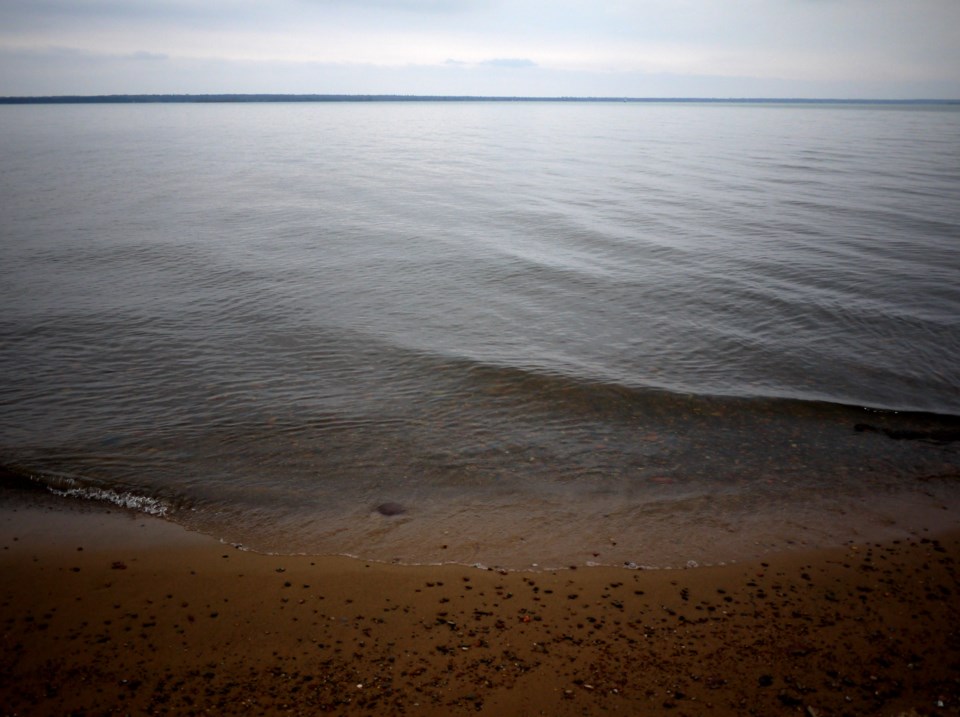
Water levels across the Great Lakes system remain near or above record-highs for this time of year. As a result, there is a much increased risk of shoreline erosion, lakeshore flooding and coastal damages across the upper Great Lakes system.
The Board advises all those that may be affected to prepare for potentially severe coastal impacts, especially during periods of strong winds and high waves. Lake Superior water levels increased by 3 cm (1.2 in) last month, while the average water level rise in July is 4 cm (1.6 in).
At the beginning of August, Lake Superior is 2 cm (0.8 in) above the record high beginning of month level set in 1950. The level is currently 35 cm (14 in) above average (1918 – 2018), and 22 cm (9 in) above its level of a year ago. Lake Michigan-Huron remained stable in July, which is the average water level change in July. Lake Michigan Huron is currently 6 cm (2 in) below the record high beginning of month level set in 1986.
The level is 79 cm (31 in) above average, and 40 cm (16 in) above last year’s beginning of August level. Lake Superior is expected to remain relatively stable in August and Lake Michigan-Huron is expected to begin its seasonal decline.
The International Lake Superior Board of Control (Board) expects the total flow in August to be 3,170 cms (111.9 tcfs), which is the 290 cms (10.2 tcfs) above the amount prescribed by Lake Superior Regulation Plan 2012. Actual outflows may vary depending on hydrologic conditions, as well as maintenance activities at the hydropower plants on the St. Marys River.
The gate setting at the Compensating Works will be increased to the equivalent of nine gates fully open. This will be achieved by raising Gates #7 through #10 on August 5th and 6th. The average St. Marys Rapids flow in August is expected to be approximately 1,333 cms (47.0 tcfs). Anglers and other users of the St. Marys Rapids need to be cautious of the high flows and water levels that will continue to be experienced in the rapids in August. Furthermore, some flooding of low-lying areas of Whitefish Island is expected at these high flows. As a result, some recreational trails and features in these areas will likely be inundated and may sustain damage. Users are encouraged to use extreme caution.
The Board received approval from the International Joint Commission (IJC) to temporarily deviate from Regulation Plan 2012 through November 2019. This deviation strategy is similar to those employed over the past four years, which were also marked by reduced hydropower capacity and high lake levels and outflows.
Over the next several months, the Board expects to adjust the gate settings at the Compensating Works in order to offset the effects of maintenance activities at the hydropower plants that are expected to continue through the summer and fall. Over this time period, the total amount of water released through the St. Marys River will be approximately equal to the flow prescribed by Plan 2012 and the deviation strategy will have almost no impact on the water levels of Lake Superior and Lake Michigan-Huron, yet will provide benefits to the St. Marys Rapids directly downstream of the Compensating Works by reducing highly fluctuating flows through the rapids.
*****************************