Today and tomorrow are about to see winter's wrath as extreme amounts of snow, cold and wind tear across the Eastern Superior region.
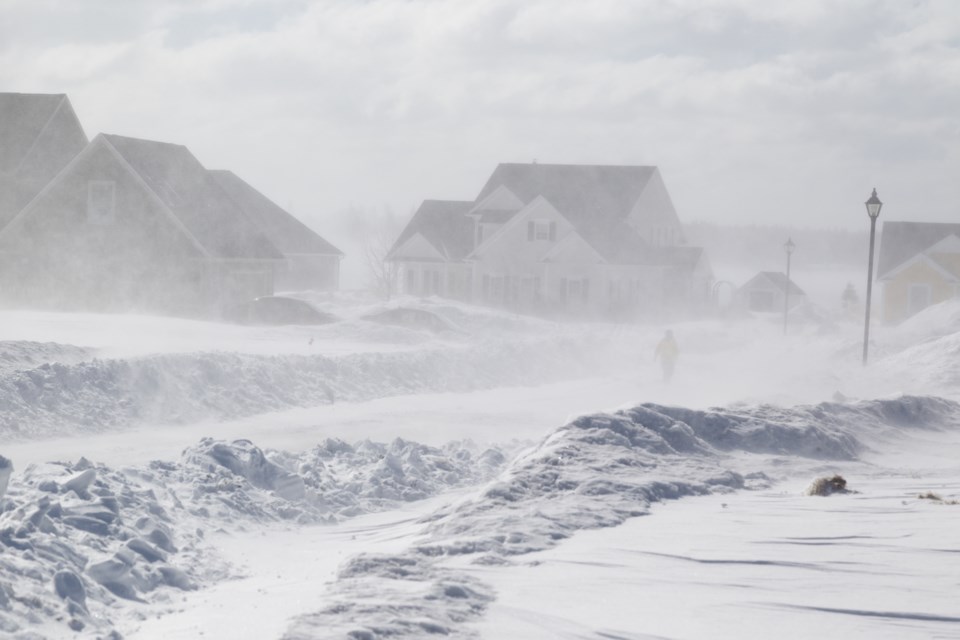
Record breaking snowfall amounts, zero visibility, and dangerous windchills will all be in the mix from late Wednesday into Thursday.
Lake Superior water temperatures were well above normal this fall heading towards the winter. This set the stage for potentially strong lake effect snowsqualls if the perfect combination of low temperatures and wind direction aligned, and that is about to happen in the next 48 hours.
By Wednesday afternoon we will see the snowsqualls that have hammered regions north of the city for the last day move south and into the city. Winds will take a while to hit that perfect alignment out of the northwest, but when that happens late in the day, the snowsquall machine will kick into high gear.
The squalls continue into the evening and overnight with 25-40cm possible by Thursday morning.
On both days the majority of the snowsquall activity will be north of Laird Hill with substantially less snow towards St. Joseph Island and locations along the North Channel.
For Thursday the conditions continue, and the snow will keep on coming. Two-day combined totals should climb towards 75cm (the record for each day is under 20cm!).
The gusty winds and snow will combine for blowing snow and difficult driving conditions. Expect zero visibility across the region and watch for potential road closures.
More snow is likely Friday into Saturday but only 10-20cm - which will seem like a dusting compared to what's expected in the next couple days.