SPECIAL WEATHER STATEMENT
ENVIRONMENT CANADA
**************************
Snow squall warning in effect for:
• Sault Ste. Marie - St. Joseph Island
• Searchmont - Montreal River Harbour - Batchawana Bay
• Agawa - Lake Superior Park
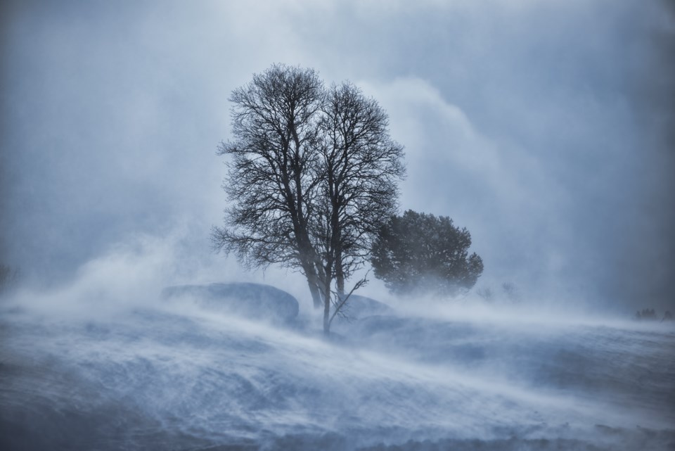
Snow squalls are expected. Under the snow squall bands, visibilities will be significantly reduced due to the heavy snow combined with blowing snow, and snow will quickly accumulate.
Snow squalls off of Lake Superior will blast across the region tonight into early Friday morning, with snowfall amounts up to 15 cm expected from the heaviest snow squalls. Strong and gusty winds will whip up the freshly fallen snow resulting in sudden zero visibility in blowing snow in many areas.
Dangerous winter driving conditions are expected. Highway 17 is closed from Batchawana northward according to MTO reports.
The snow squalls will move to the south of Batchawana after 6 a.m. Friday and to the south of Sault Ste. Marie after 9 a.m. Friday.
Prepare for quickly changing and deteriorating travel conditions. Visibility will be suddenly reduced to near zero at times in heavy snow and blowing snow. If visibility is reduced while driving, slow down, watch for tail lights ahead and be prepared to stop. There may be a significant impact on rush hour traffic in urban areas. Road closures are possible.
Snow squall warnings are issued when bands of snow form that produce intense accumulating snow or near zero visibilities.
Please continue to monitor alerts and forecasts issued by Environment Canada. To report severe weather, send an email to [email protected] or tweet reports to #ONStorm.
**************************