ENVIRONMENT CANADA
*********************
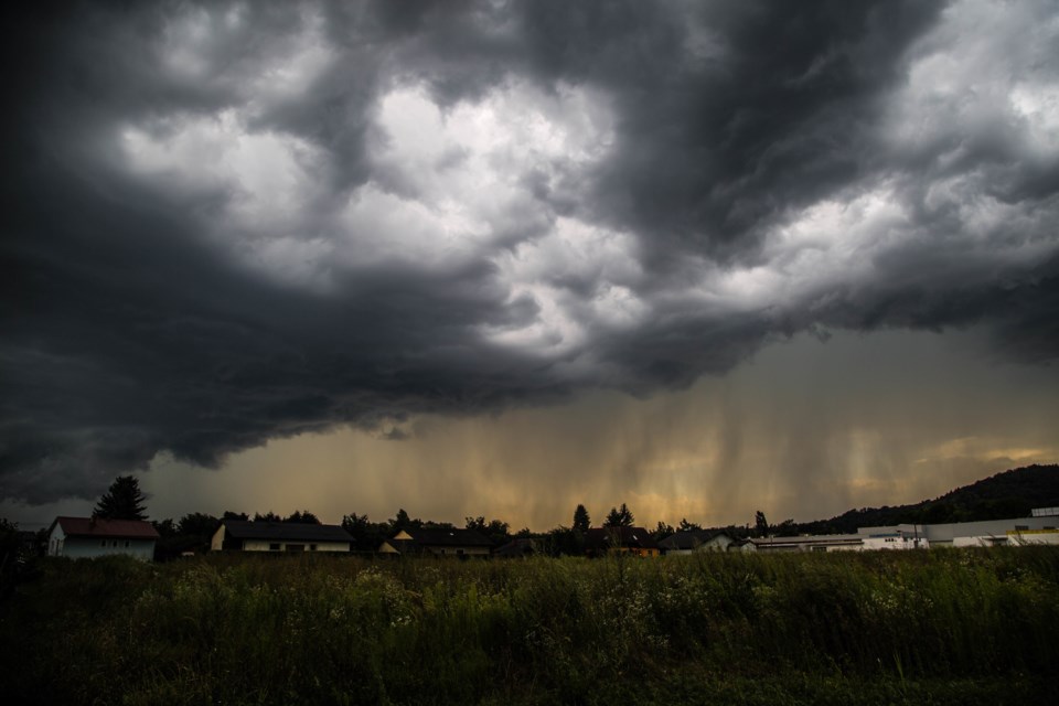
Severe thunderstorm watch issued for:
- Sault Ste. Marie - St. Joseph Island
- Elliot Lake - Ranger Lake
- Manitoulin - Blind River - Killarney, Ont. (049900)
Current details:
Conditions are favourable for the development of dangerous thunderstorms that may be capable of producing damaging wind gusts and damaging hail.
Thunderstorms are expected to move into the region from Michigan later this afternoon, mainly after 4 PM EDT. These thunderstorms will have the potential to produce damaging wind gusts as well as large hail.
The threat of severe weather will diminish early this evening.
Very large hail can damage property, break windows, dent vehicles and cause serious injury. Very strong wind gusts can damage buildings, down trees and blow large vehicles off the road.
Lightning kills and injures Canadians every year. Remember, when thunder roars, go indoors!
The Office of the Fire Marshal and Emergency Management recommends that you take cover immediately if threatening weather approaches.
Severe thunderstorm watches are issued when atmospheric conditions are favourable for the development of thunderstorms that could produce one or more of the following: large hail, damaging winds, torrential rainfall.
Please continue to monitor alerts and forecasts issued by Environment Canada. To report severe weather, send an email to [email protected] or tweet reports using #ONStorm.
For more information on emergency preparedness, please click here
************************