It’s a complex system of trails.
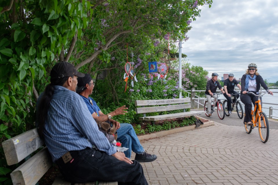
The Sault’s Hub Trail bike system is now also part of a bike route between Sault Ste. Marie and Sudbury, which itself is part of a larger Great Lakes trail system that now, after the completion of a water route between the Sault and Thunder Bay, is linked to up to a 24,000 km trail that goes across Canada.
Minister of Tourism, Culture, and Sport MPP Eleanor McMahon was in town to celebrate this fact along with other dignitaries and organizers on Friday.
The route from the Sault to Sudbury is part of the Great Lakes Waterfront Trail, an attempt to “string together a continuous route (along the Great Lakes) as close to the water’s edge as environmentally possible” said Marlaine Koehler, executive director of the Waterfront Regeneration Trust.
The local section of that route — which starts at Gros Cap, goes through the hub trail system and goes eastward from Highway 17 — has been laid out and considered complete though there is still signage to be put up.
Part of the completion of the bike path from the Sault to Sudbury included investments from the Ministry of Transportation.
In April 2015, the ministry announced $15 million dollars to improve cycling routes in four areas across Canada, one of them being sections of Highway 17 and 17b.
Marlaine Koehler, executive director of the Waterfront Regeneration Trust, said about $10 million went to expanding the concrete shoulders of that route.
Koehler said that before the shoulder expansion the experience for cyclists on the route was 380 kms of highway and the Great Lakes Waterfront Trail has managed to shrink that down to only 50 kms of highway with the rest on mostly back roads.
“Cyclists going across Canada had a ‘white knuckle experience’ going across Ontario,” said Koehler. “What you see instead are beautiful heritage northern towns, Mennonite and Amish farms, forest, (and) the quiet beaches that are in northern Ontario. It’s a completely different cycling experience now.”
While the Sault to Sudbury path has been laid out, the signage is not actually complete yet.
The water route between the Sault and Sudbury is called the Lake Superior Water Trail.
It’s a 1,000 km water-based route with 16 access points, but at its most eastern end starts at Gros Crap and then follows the north coast of Lake Superior to Thunder Bay.
According to literature publicized online, the trail is perfect for “non-motorized watercraft such as canoes and kayaks for single-day and multi-day trips.”
That trail not only completes the cross-Canada path, but also completes a system of water trails around Lake Superior.
The Trans Canada Trail — also known as ‘The Great Trail’ — started in 1992 and includes 25 per cent water routes ideal for canoeists.
The intention was to complete that trail in celebration of Canada's 150th anniversary, and with the completion of the water route, it is for the most part complete except for some small sections in Alberta.
The Great Lakes Waterfront Trail system is continuing to expand.
Their next plan is to expand the trail from Espanola to Collingwood, then around Georgian Bay, and possibly after that, creating a route between Sault Ste. Marie and Thunder Bay.
“Until we get out there we don’t know what secret roads exist to make that connection better,” said Koehler.