The following winter storm watch has been issued by Environment Canada for Sault Ste. Marie - St. Joseph Island - Searchmont - Montreal River Harbour - Batchawana Bay - Agawa - Lake Superior Park - Wawa - Pukaskwa Park - White River - Dubreuilville - Elliot Lake - Ranger Lake - Manitoulin Island - Blind River - Thessalon - Espanola - Killarney.
Similar watches are in effect for all other parts of Northeastern Ontario.
We've also included a hazardous weather outlook issued by the U.S. National Weather Service.
************************* Environment Canada
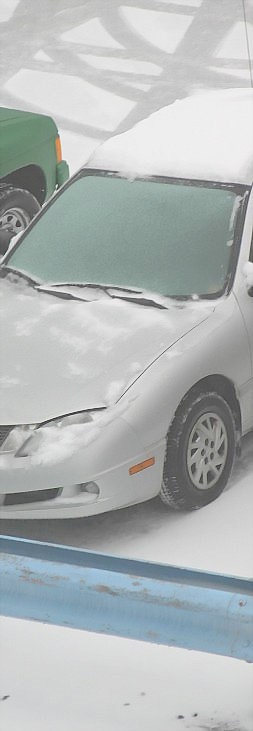
Significant freezing rain possible early Friday evening to Saturday morning.
This is an alert to the potential development of dangerous winter weather conditions in these regions.
Monitor weather conditions. Listen for updated statements.
An intense storm from Colorado is once again heading towards Ontario.
This new storm is expected to pass west of Lake Superior Friday overnight which is much further west than the other storms which Ontario has experienced over the last week.
The more northwestern storm track means rain across southern Ontario beginning Friday night through Sunday morning but snow, ice pellets and potentially significant freezing rain across most of northeastern Ontario Friday evening through Saturday.
Regions located in northeastern Ontario will bear the brunt of the wintery mix of precipitation.
Snow is forecast to fall ahead of the storm from Sault Ste. Marie east to the Nickel Belt late Friday afternoon then change over to periods of ice pellets and freezing rain starting Friday evening.
This wintery mix will then migrate northward reaching north of Geraldton east to Timmins by Friday overnight.
There is potential that the freezing rain will be extensive covering a wide area with significant icing amounts possible.
A freezing rain warning may be issued closer to the onset of the storm.
************************ U.S. National Weather Service
THIS HAZARDOUS WEATHER OUTLOOK IS FOR NORTHERN LOWER MICHIGAN, EASTERN UPPER MICHIGAN AND ADJACENT NEARSHORE WATERS OF LAKE MICHIGAN, LAKE HURON AND LAKE SUPERIOR.
DAY ONE - REST OF TODAY AND TONIGHT.
NO HAZARDOUS WEATHER IS EXPECTED AT THIS TIME.
DAYS TWO THROUGH SEVEN - FRIDAY THROUGH WEDNESDAY.
A PERIOD OF FREEZING DRIZZLE IS POSSIBLE ACROSS PORTIONS OF NORTHERN MICHIGAN LATE FRIDAY MORNING INTO FRIDAY EVENING.
THERE IS POTENTIAL FOR FLOODING DUE TO THE COMBINATION OF MODERATE TO HEAVY RAINFALL AND SNOWMELT SATURDAY AND SATURDAY NIGHT ACROSS PORTIONS OF NORTHERN MICHIGAN.
*************************