The Ministry of Natural Resources and Forestry (MNRF) has confirmed three new fires in the Northeast Region as of May 27.
On May 25, there were 14 active fire events in the Northeast Region, five of which were located in the Greater Sudbury district. Two of those are still burning, but under are classified as under control.
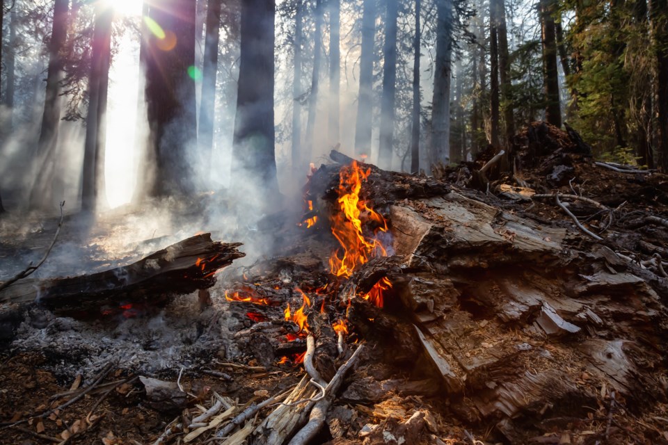
As of now, there are nine active fires in the region.
New fires as of May 27:
- Wawa 2 is being observed at 0.3 of a hectare. It is located on the south shore of Dodds Lake at the north end of Lake Superior Provincial Park.
- Bancroft 5 is not yet under control at 1 hectare and is located on the north shore of Little Long Lake.
- Bancroft 6 is not yet under control at 6.1 hectares. It is located approximately 2 km south of Lower Madawaska River Provincial Park and south of route 41.
There are six other active fires across the Northeast:
- Sudbury 17 is under control at 0.6 of a hectare.
- Sudbury 14 is under control at 10 hectares.
- North Bay 3 is being observed at 1 hectare.
- Kirkland Lake 1 is under control at 15.8 hectares.
- Pembroke 6 is being held at 0.2 of a hectare.
- Peterborough 1 is under control at 25 hectares.
The fire hazard ranges from low to extreme across the Northeast Region.
Most areas located north of Sault Ste. Marie and Temiskaming Shores are showing a low to moderate hazard, while areas to the south of these communities are showing a mostly high to extreme hazard.
To see the fire hazard near you, consult the interactive fire map at Ontario.ca/forestfire.