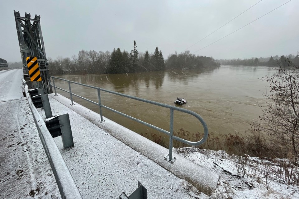
Residents in Goulais have taken to social media to share photos of this week’s significant flooding that has taken place in the area.
Warmer weekend temperatures and some rainfall to start the work week has melted much of the remaining snow, leaving some roadways in the Goulais area inaccessible.
According to the Government of Canada’s hydrometric data research, the latest water level measurements taken from Goulais River near Kirby’s Corner appear to have peaked today and those numbers are slowly beginning to fall.
Members of the Goulais River and Area Community Page on Facebook have been uploading photos that detail the peak levels of flooding, particularly on the river, where a number of houses near the riverbank have become surrounded by water.
While flooding isn’t considered atypical for the area, concerns have been raised for the homeowners situated on or near the river.
Cooler temperatures today, however, are expected to continue slowing the melting snow.
SooToday has reached out to the ministry for an update on the situation. We will update this story as more information becomes available.