NEWS RELEASE
THE MINISTRY OF NATURAL RESOURCES AND FORESTRY
*************************
The Ministry of Natural Resources and Forestry Sault Ste. Marie District is advising area residents that a Flood Watch remains in effect for the District.
Residents of the Sault Ste. Marie District should continue to keep a close watch on water conditions, regularly check for updated messages and stay away from fast-moving rivers and streams.
The ministry is closely monitoring the weather and developing watershed conditions. Further updates will be issued as appropriate.
Technical Information
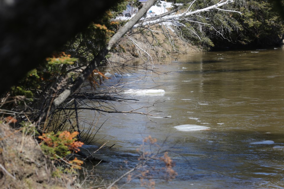
Description of Weather System: The weather outlook for the long weekend is for cooler than normal weather to prevail with a mix of periodic snow squalls and/or rain, and strong winds predicted. Daytime temperatures over the next several days will remain below average between two and eight degrees but will continue to melt the remaining snow pack. Rain or possibly snow is forecast for Sunday and Monday. This rain is expected to bring an additional 10-15 mm of moisture into area water systems. Water levels and stream flows across much of northeastern Ontario are moderately elevated from ongoing spring snow melt and recent precipitation events. Above freezing temperatures and precipitation are likely to further degrade the snowpack and produce continued runoff, increasing levels and flows.
Description of Current Conditions: Although water levels are currently below critical thresholds for the Goulais River, any increases in the amount of precipitation forecasted and coupled with continued melting of the remaining snow pack could result in a subsequent rise in water levels. Risks may include increasing flows, fast moving cold water with rapidly changing conditions. A close watch on local forecasts and water conditions is recommended.
Expiry Date
This message will be in effect until (or updated before): Friday, April 17 2020, 12:00 a.m.
Terminology: Notification Levels
Watershed conditions statement - flood outlook: gives early notice of the potential for flooding based on weather forecasts calling for heavy rain, snow melt, high winds or other conditions.
Watershed conditions statement - water safety: indicates that high flows, melting ice or other factors could be dangerous for such users as boaters, anglers and swimmers but flooding is not expected.
Flood watch: potential for flooding exists within specific watercourses and municipalities
Flood warning: flooding is imminent or occurring within specific watercourses and municipalities.
A close watch on local conditions and weather forecasts from Environment Canada is recommended.
Environment Canada bulletins can be found at weather.gc.ca/
The Surface Water Monitoring Centre public webpage can be found at www.ontario.ca/flooding.
Tweet your reports of flooding with the hashtag #ONFlood.
*******************