 SPECIAL WEATHER STATEMENTS
ENVIRONMENT CANADA
Sault Ste. Marie - St. Joseph Island, Ont.
Current details: The above alert for your subscribed area has ended.
More details on the alert are available here.
Snowfall warning in effect for:
Searchmont - Montreal River Harbour - Batchawana Bay
Significant snow tonight.
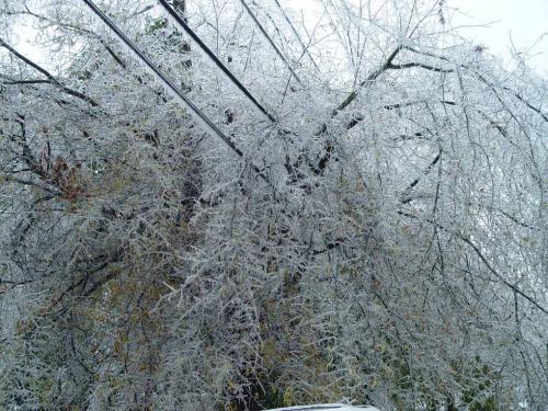
Snow heavy at times associated with a winter storm has spread into Northeastern Ontario. Ice pellets may be mixed with the snow occasionally during this evening. Total snowfall amounts of 15 to 20 cm can be expected by Saturday morning. In addition blowing snow creating poor visibilities is likely for areas north of Lake Superior.
An early April winter storm is developing over the central us and will track northeast to reach Manitoulin Island by tonight.
Winter storm warning in effect for:
Agawa - Lake Superior Park
Heavy snow and local blowing snow tonight.
A low pressure system just south of Sault Ste Marie is expected to track across Northeastern Ontario tonight. This system is generating heavy snow across portions of Northeastern Ontario. Snowfall amounts of 25 to 30 cm can be expected by Saturday morning. Brisk northeasterly winds will also result in local blowing snow in exposed areas.
Motorists should consider avoiding travel if at all possible. Driving conditions will quickly deteriorate and become hazardous due to very low visibility in areas of heavy snow and blowing snow, and accumulating snow on untreated roads.
An early April winter storm is developing over the central us and will track northeast to reach Manitoulin Island by tonight.
Rain and snowfall warnings still in effect