Fishing on the St. Marys River? How is it? Fisheries staff with the Michigan Department of Natural Resources and Ontario Ministry of Northern Development, Mines, Natural Resources and Forestry want to know.
Staff from both organizations will be holding a creel survey beginning in May and running through October, a release from the Michigan DNR states.
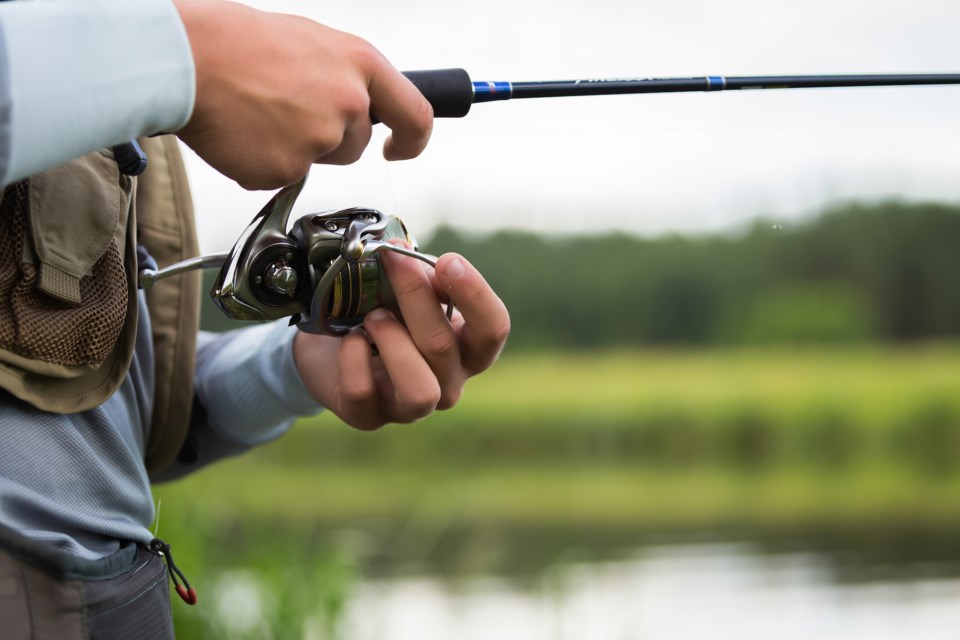
This survey will help creel clerks get a better grasp of recreational fishing activity by interviewing anglers at different access sites on both the Michigan and Ontario sides of the St. Marys River.
These surveys "help estimate important fishing data like catch rates and harvests of different fish species in the river, fish measurements and angler time on the water. To improve the estimates, aerial observation from plane flights also will be used to count boat and angler activity," the release states.
For more information, see the full release as follows:
How's the fishing on the St. Marys River? Fisheries staff with the Michigan Department of Natural Resources and Ontario Ministry of Northern Development, Mines, Natural Resources and Forestry will be asking this summer and fall during a creel survey beginning in May and running through October.
Creel clerks focused on getting a better grasp of recreational fishing activity will interview anglers at different access sites on both the Michigan and Ontario sides of the St. Marys River. "Creel" is a traditional term referring to the woven, wicker baskets people used to store their catch while fishing. Creel surveys help estimate important fishing data like catch rates and harvests of different fish species in the river, fish measurements and angler time on the water. To improve the estimates, aerial observation from plane flights also will be used to count boat and angler activity.
“We are excited to do this full-river creel survey in 2022, as this will be the second creel survey to cover both the upper and lower St. Marys River on both the Ontario and Michigan sides,” said Neal Godby, DNR fisheries biologist.
Previous surveys have shown what a tremendous fishery the river provides. Anglers spent about 233,000 hours on the river in 2017, which is about 36% as much as all angler activity in the Michigan waters of Lake Huron. (The full 2017 report is available on the Great Lakes Fishery Commission website.)
The DNR will conduct a similar survey on Whitefish Bay, on the eastern end of Lake Superior, during the same May-October time frame. Clerks will cover access sites commonly used by boaters.
“This will be the first recreational creel survey on Whitefish Bay and a great opportunity to evaluate the use of that fishery,” said Cory Kovacs, DNR fisheries biologist. “Fisheries managers recognize the importance of the recreational fishery of Whitefish Bay, but currently do not have a good understanding of angler activity and catch rates.
"The DNR genuinely appreciates the time anglers are able to give when approached by creel clerks," Kovacs said "Just a few minutes to answer questions about your fishing experience provides valuable information that will help improve future fishing opportunities for everyone."
To learn more about how the DNR manages Michigan’s fisheries, visit Michigan.gov/Fishing.