NEWS RELEASES
CITY OF SAULT STE MARIE
SAULT STE MARIE REGION CONSERVATION AUTHORITY
*************************
Public Works and Engineering Services is asking for the assistance of city residents as they carry out their fall cleanup of leaves.
Residents should not rake leaves onto the roadway or into storm drains as leaves can cause drains to be plugged, resulting in potential flooding.
“At this time of the year we are sending out our work crews to clean basins and storm drains as a preventative measure against flooding. If people do not manage their leaves and yard waste properly, there is the potential for flooding to occur on our roadways and in ditches,” says Larry Girardi, Deputy CAO – Public Works and Engineering Services.
Residents are reminded to take caution when in close proximity of drainage systems. Parents should ensure children and pets stay away from these hazardous areas.
The City thanks residents for their cooperation in assisting with this annual request.
Bi-weekly collection of leaf and yard waste is provided by the City of Sault Ste. Marie. To find out your collection date, visit saultstemarie.ca/leafyardwaste or call 705.759.5201.
*************************
The Sault Ste. Marie Region Conservation Authority would like to issue a statement to residents in regard to current watershed conditions. An initial round of rain and some thunderstorms moved across watershed today.
A more important low pressure system will emerge from Kansas this morning and intensify into a rather classic fall storm as it moves across the Great Lakes tonight then quickly into Northeastern later on Tuesday.
The weather forecast over two days indicates a slight chance of isolated severe thunderstorms in our watershed. Significant rain is expected with this storm, in the order of 20 to 30 millimetres with localized 40 mm likely.
Most of the rain will fall tonight and may be accompanied by some strong thunderstorms which may pack a bit of a punch with gusty winds and some hail. Strong gusty southwest winds of 50 to 70 km/h will affect many areas later tonight into Tuesday as well.
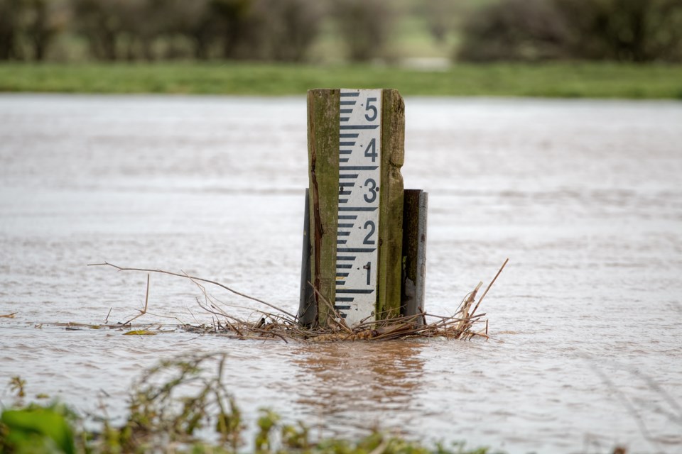
Water levels in local rivers have begun to increase but are well below flood levels.
Water levels will continue to increase. The flood control channels owned and maintained by the Sault Ste. Marie Region Conservation Authority are flowing.
As anticipated rainfalls are received, the flood control channels will experience a rise in water levels. It is important to remember that the water in rivers, streams and the channels is cold and fast flowing waters are dangerous.
The Sault Ste. Marie Region Conservation Authority will be closely monitoring stream flows across the watershed.
The Sault Ste. Marie Region Conservation Authority would like to extend a warning to residents and visitors to use extreme caution when close to rivers, creeks and channels.
Potential increases in water levels and flows can be especially dangerous and stream banks can be slippery. Please keep children and pets away from fast flowing rivers and streams.
This statement is in effect until Wednesday, Oct. 19, 2016.
*************************