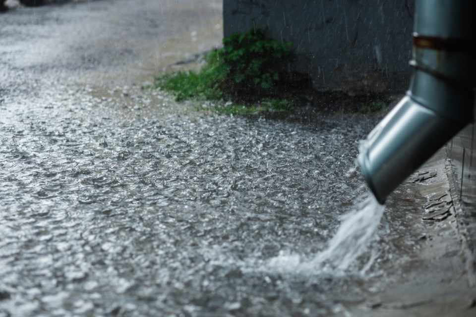
Bring in the patio furniture tonight, Saultites. We are in for a wet one.
Environment Canada is calling for heavy showers and thunderstorms overnight into Wednesday morning. We could possibly see 20 to 40 mm during that time.
A special weather statement for the Sault and areas both north and east of the city reads as follows:
************************
Special weather statement in effect for:
- Agawa - Lake Superior Park
- Sault Ste. Marie - St. Joseph Island
- Searchmont - Montreal River Harbour - Batchawana Bay
An area of heavy showers and thunderstorms crossing Lake Superior and beginning tonight.
Showers and thunderstorms moving across the region may give local amounts of 20 to 40 millimeters tonight into early Wednesday morning. There is some uncertainty in the rainfall amounts predicted. A few locations may receive higher amounts and rainfall warnings may be needed.
Impacts:
Local flooding or washouts
Reduced visibility while driving
Please continue to monitor alerts and forecasts issued by Environment Canada. To report severe weather, send an email to [email protected] or tweet reports using #ONStorm.
***********************