ENVIRONMENT CANADA
*************************
Special weather statement in effect for:
Sault Ste. Marie — St. Joseph Island
Searchmont — Montreal River Harbour — Batchawana Bay
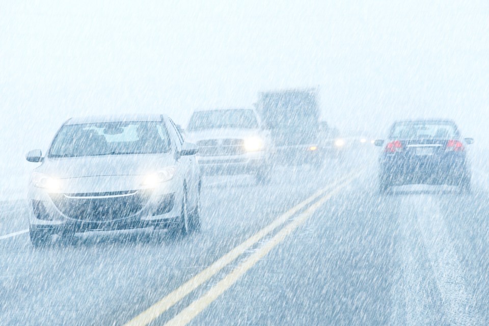
Winter storm with 15 to 25 cm of snow and blowing snow Tuesday afternoon into Wednesday.
Snow will begin Tuesday afternoon. Strong easterly winds gusting to 80 km/h will cause reduced visibilities in blowing snow. Total snowfall amounts of 15 to 25 cm are possible before the snow tapers off Wednesday afternoon. Travel is likely to be affected.
This snow is associated with a Colorado low that will cross Ontario Tuesday and Wednesday.
Watches and warnings may be required as this event draws closer.
Please continue to monitor alerts and forecasts issued by Environment Canada. To report severe weather, send an email to [email protected] or tweet reports using #ONStorm.
*************************