 WEATHER WARNING
ENVIRONMENT CANADA
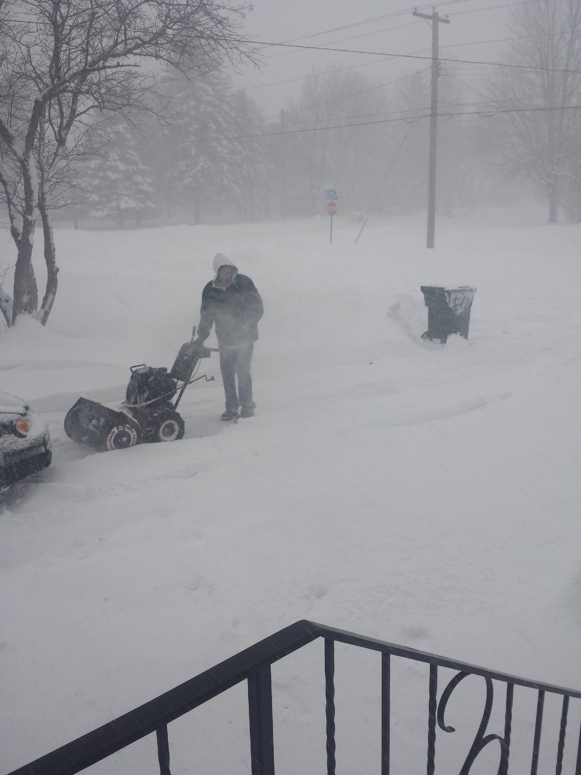
Snow squalls are expected to develop. Under the snow squall bands, visibilities will be significantly reduced due to the heavy snow combined with blowing snow, and snow will quickly accumulate.
Snow squalls have moved into Upper Michigan for the time being this afternoon.
However latest indications suggest they will return across the border across the Sault Ste. Marie to Batchewana Bay areas this evening.
Local snow amounts of up to 15 cm are possible in the strongest snow squalls especially if they become nearly stationary for a few hours tonight.
They may then weaken back into flurries by Thursday morning.
Motorists should be prepared for hazardous winter driving conditions again tonight.
Snow squalls cause weather conditions to vary considerably, changes from clear skies to heavy snow within just a few kilometres are common.
Visibility may be suddenly reduced at times in heavy snow.
Snow Squall Watches are issued when conditions are favourable for the formation of bands of snow that could produce intense accumulating snow or near zero visibilities.
Environment Canada meteorologists will update alerts as required, so stay tuned to your local media or Weatheradio.
Email reports of severe weather to [email protected] or tweet with the hashtag #ONStorm.