WEATHER ALERT
ENVIRONMENT CANADA
*************************
Winter storm warning in effect for:
- Agawa - Lake Superior Park
- Sault Ste. Marie - St. Joseph Island
- Searchmont - Montreal River Harbour - Batchawana Bay
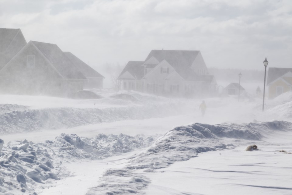
A major winter storm is expected.
A slow moving weather system approaching from southwest of the Great Lakes is bringing a major winter storm to Northern Ontario today.
Snow, heavy at times, will continue today then will slowly start to ease off tonight as the winter storm moves away into Quebec.
Total snowfall accumulations of 20 to 30 cm are expected by the time this winter storm ends tonight.
Brisk northeast winds gusting to 50 km/h will whip up freshly fallen snow in exposed areas resulting in occasional blowing snow.
Hazardous winter travelling conditions will continue today into this evening. Slow improvement is expected overnight and Tuesday.
Environment Canada will continue to closely monitor this situation and provide further updates as the storm evolves.
Consider postponing non-essential travel until conditions improve. Surfaces such as highways, roads, walkways and parking lots may become difficult to navigate due to accumulating snow.
Winter storm warnings are issued when multiple types of severe winter weather are expected to occur together.
Please continue to monitor alerts and forecasts issued by Environment Canada. To report severe weather, send an email to [email protected] or tweet reports using #ONStorm.
*************************