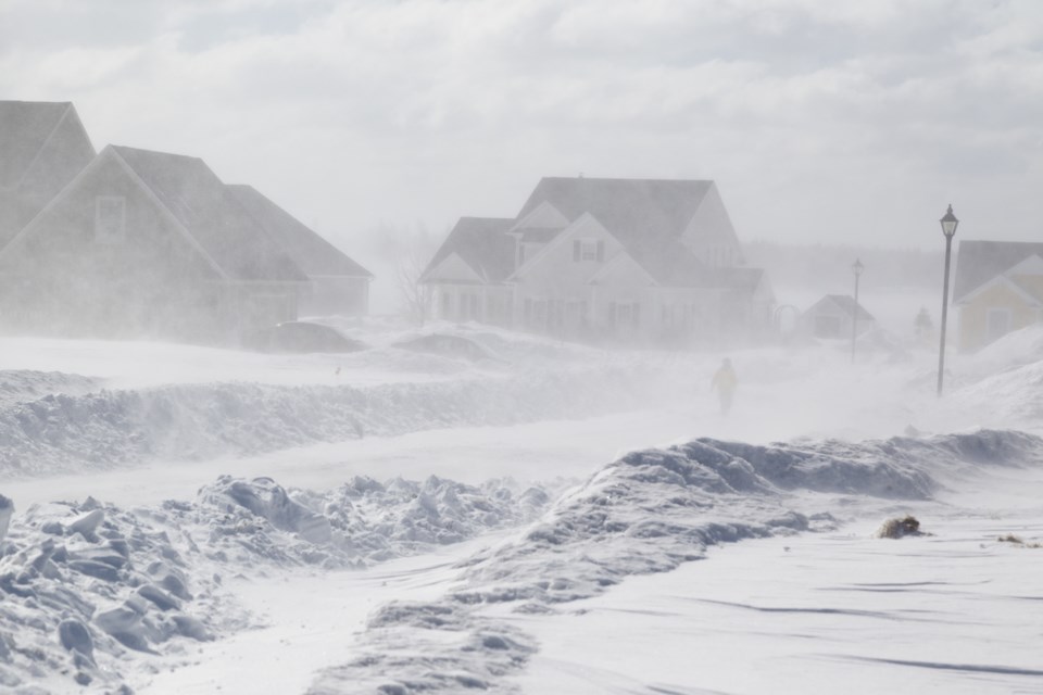
Environment Canada has issued a special weather statement for much of northern Ontario, including Sault Ste. Marie, St. Joseph Island, and Searchmont.
A winter storm is expected to bring 10 to 25 cm of snow and strong winds to the region Sunday afternoon. There is also the risk of freezing rain for some ares.
Full text of the weather alert follows:
Special weather statement in effect for:
• Agawa - Lake Superior Park
• Sault Ste. Marie - St. Joseph Island
• Searchmont - Montreal River Harbour - Batchawana Bay
• Elliot Lake - Ranger Lake
• Greater Sudbury and vicinity
• Blind River - Thessalon
• Espanola - Killarney
• Manitoulin Island
• Wawa - Pukaskwa Park
• White River - Dubreuilville
Winter storm expected Sunday afternoon through Monday.
Hazards:
Heavy snow. Total snowfall accumulations of 10 to 25 cm.
Strong winds with gusts of 60 to 70 km/h.
Risk of freezing rain for some areas.
Heavy rain for some areas.
When:
Sunday afternoon through Monday evening.
Impacts:
Hazardous travel conditions are expected.
Discussion: A strengthening low pressure system is expected to track east across the Great Lakes Sunday through Monday. There remains some uncertainty in the track of this low pressure system and as a result, the snowfall amounts and areas affected by freezing rain and heavy rain could change. At this time, areas north and west of Sudbury are expected to receive mainly snow, whereas areas east and south of Sudbury could see a wintry mix of precipitation. Warnings will be issued as the event draws nearer.
Please continue to monitor alerts and forecasts issued by Environment Canada. To report severe weather, send an email to [email protected] or tweet reports using #ONStorm.
