 SPECIAL WEATHER
STATEMENT
ENVIRONMENT CANADA
***************************
Wind chill warning issued for Sault Ste. Marie - St. Joseph Island - Searchmont - Montreal River Harbour - Batchawana Bay - Agawa - Lake Superior Park - Wawa - Pukaskwa Park - White River - Dubreuilville - Timmins - Cochrane - Iroquois Falls - Manitouwadge - Hornepayne - Chapleau - Missinaibi Lake
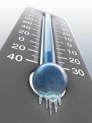
Wind chill values in the minus 40s tonight and Monday morning.
Yet another bitterly cold Arctic air mass is entrenched over Northern Ontario.
Temperatures are forecast to drop to near or below minus 30 tonight and early Monday morning.
Light to moderate winds will combine with these cold temperatures to give wind chill values in the minus 40 to minus 45 range.
Frostbite (damage, sometimes permanent, to skin and body tissue due to freezing) and hypothermia (a life threatening drop in body temperature) will occur if adequate precautions are not taken when outdoors.
These can occur within minutes.
***************************
Join SooToday+
- Messages
- Post a Listing
- Your Listings
- Your Profile
- Your Subscriptions
- Your Likes
- Your Business
- Support Local News
- Payment History
SooToday+ members
Already a +member?
Not a +member?
Sign up for a SooToday+ account for instant access to upcoming contests, local offers, auctions and so much more.