ENVIRONMENT CANADA
**********************
4:19 PM EST Sunday 18 February 2018
Snowfall warning in effect for:
- Agawa - Lake Superior Park
Snowfall, with total amounts of 15 to 20 cm is expected.
A low pressure system approaching from Minnesota will track across Lake Superior into Upper Michigan tonight. Snow is moving into the region as expected.
Total snowfall amounts of 15 to 20 cm are expected from this snowstorm by Monday morning.
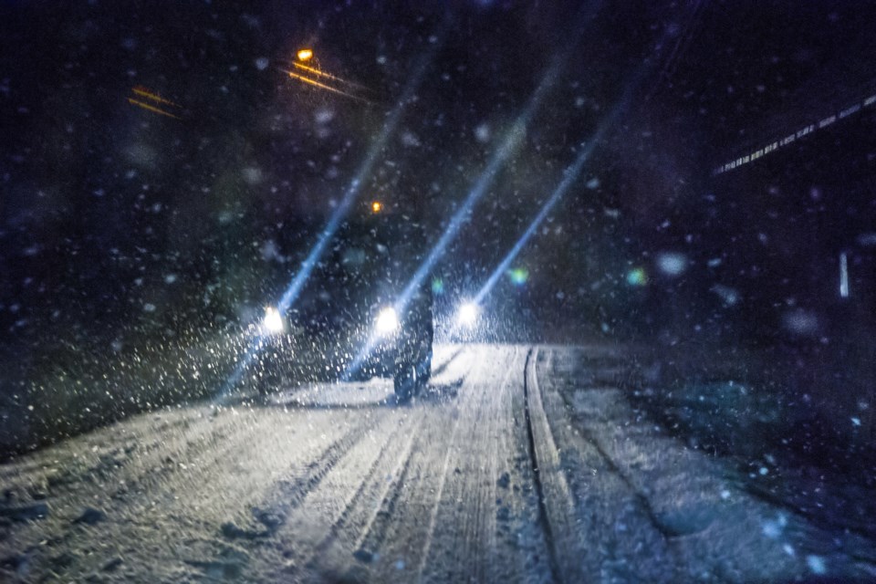
Driving conditions will quickly deteriorate after the snow arrives. Motorists should allow extra time to reach their destination.
Snow will become lighter and a little more intermittent Monday morning in the wake of this disturbance. However the snow will become continuous later Monday as a second low pressure system approaches from the southwest.
Prepare for quickly changing and deteriorating travel conditions. Surfaces such as highways, roads, walkways and parking lots may become difficult to navigate due to accumulating snow.
Snowfall warnings are issued when significant snowfall is expected.
Please continue to monitor alerts and forecasts issued by Environment Canada. To report severe weather, send an email to [email protected] or tweet reports using #ONStorm.
**********************
4:28 PM EST Sunday 18 February 2018
Special weather statement in effect for:
- Searchmont - Montreal River Harbour - Batchawana Bay
Snowstorm on the way.
A low pressure system approaching from Minnesota will track across Lake Superior into Upper Michigan tonight. Snow is moving into the region as expected. Total snowfall amounts near 10 cm are possible by Monday morning.
Snow will become lighter and a little more intermittent Monday morning in the wake of this disturbance. However the snow will become more continuous again later Monday as a second low pressure system approaches from the southwest.
Hazardous winter driving conditions from accumulating snow on untreated roads and low visibility in areas of heavier snow are expected with this weather system. Motorists should be prepared to change travel plans accordingly.
Please continue to monitor alerts and forecasts issued by Environment Canada. To report severe weather, send an email to [email protected] or tweet reports using #ONStorm.
**********************
3:56 PM EST Sunday 18 February 2018
Special weather statement in effect for:
- Sault Ste. Marie - St. Joseph Island
Significant freezing rain on the way.
Quite the battle between cold arctic air to the north, and very mild air to the south is about to unfold across Northeastern Ontario.
A series of weather systems will track northeast across Lake Huron and Georgian Bay beginning Monday night and continuing into Wednesday. This weather pattern places Northeastern Ontario on the cold side of the storm track, and in this case, will set the stage for periods of freezing rain across the region.
Latest indications suggest freezing rain will arrive Monday night with the first weather system. More freezing rain appears likely Tuesday as another weather system passes by.
Some rain is likely at times on Monday and again on Tuesday, as milder air pays a brief visit with temperatures sneaking above the zero degree mark.
Over northern parts well inland from the Great Lakes, it will be colder, and some of the precipitation will fall as ice pellets and snow.
Hazardous travel conditions are expected. Local power outages from ice buildup on exposed structures may also become an issue to deal with in areas that get significant freezing rain.
Environment Canada is closely monitoring this situation. Freezing rain warnings will likely be issued as this event draws near.
Please continue to monitor alerts and forecasts issued by Environment Canada. To report severe weather, send an email to [email protected] or tweet reports using #ONStorm.
**********************