WEATHER ALERT
ENVIRONMENT CANADA
***************************
Winter storm warning in effect for:
- Sault Ste. Marie - St. Joseph Island
- Searchmont - Montreal River Harbour - Batchawana Bay
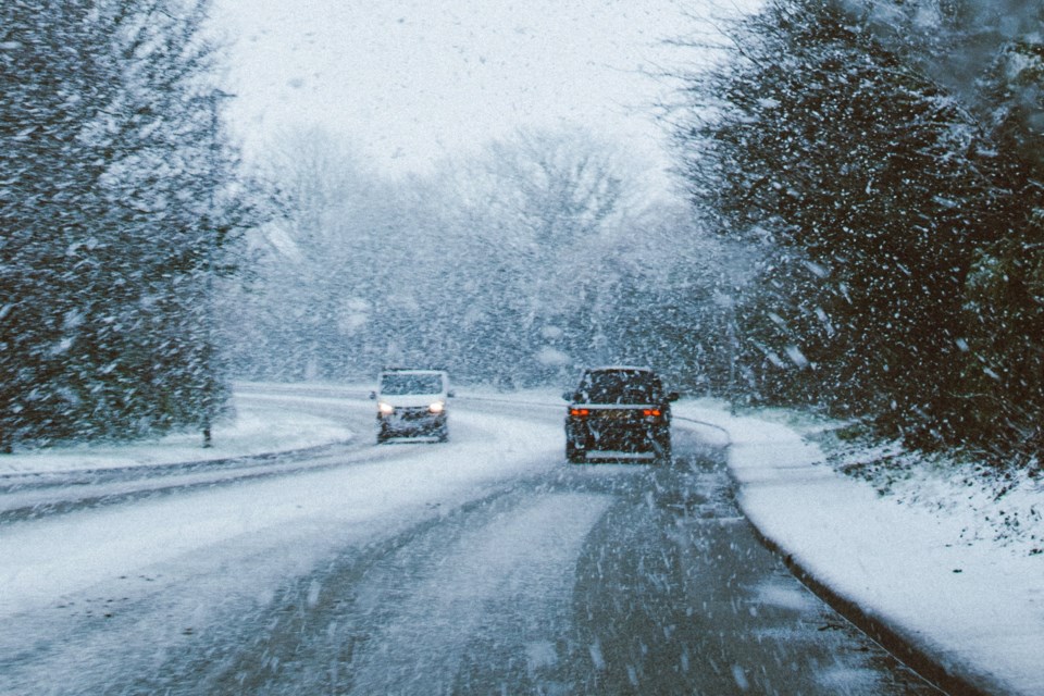
Winter storm continues this morning.
Hazards:
Significantly reduced visibility due to heavy snow and blowing snow. Snowfall accumulations of 15 to 30 cm. Peak snowfall rates up to eight cm per hour possible. Risk of freezing rain.
Timing:
Ending late this morning.
Discussion:
A winter storm will continue to move through northeastern Ontario today. Heavy snow and blowing snow are significantly reducing visibility, creating dangerous travel conditions. Snow may mix with ice pellets or freezing rain at times. Heavy snow will taper to light late this morning and end this afternoon.
Surfaces such as highways, roads, walkways and parking lots may become difficult to navigate due to accumulating snow. Poor weather conditions may contribute to transportation delays.
Prepare for quickly changing and deteriorating travel conditions. If visibility is reduced while driving, turn on your lights and maintain a safe following distance.
Please continue to monitor alerts and forecasts issued by Environment Canada. To report severe weather, send an email to [email protected] or tweet reports using #ONStorm.
***************************