 SPECIAL WEATHER
STATEMENT
ENVIRONMENT CANADA
***************************
Snowfall warning continued for Espanola - Killarney - Greater Sudbury and vicinity - New Liskeard - Temagami
Snowfall amounts averaging 15 cm tonight into Monday morning. Blowing snow overnight and Monday.
A low over Southern Indiana is intensifying as it heads towards Southern Ontario.
The snow will reach the Nickel Belt early this evening.
The snow is expected to taper off Monday morning as the storm centre moves into Quebec.
Total snowfall amounts averaging near 15 centimetres are expected from this storm.
Lesser amounts will be possible in the Western Sudbury region and near Espanola.
However, amounts could reach 20 cm over the Eastern North Bay area.
Blowing snow is also expected due to blustery north to northwest winds behind the storm overnight and Monday.
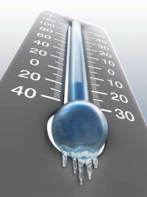
Furthermore, bitterly cold wind chills of minus 35 are expected Monday.
Motorists are advised to use caution if travelling across the region later today and tonight due to accumulating snow and reduced visibility in falling snow.
Wind chill warning continued for Manitouwadge - Hornepayne
Wind chills from minus 35 to minus 45.
Another blast of Arctic air has invaded Northwestern Ontario and will reach the Kapuskasing area overnight.
Widespread wind chill values of minus 35 to minus 45 are expected into Tuesday.
Conditions will begin to moderate Wednesday.
Caution is advised for people heading outdoors.
Exposed skin may freeze in less than 5 minutes.
***************************
Join SooToday+
- Messages
- Post a Listing
- Your Listings
- Your Profile
- Your Subscriptions
- Your Likes
- Your Business
- Support Local News
- Payment History
SooToday+ members
Already a +member?
Not a +member?
Sign up for a SooToday+ account for instant access to upcoming contests, local offers, auctions and so much more.