WEATHER ALERT
ENVIRONMENT CANADA
*************************
Snow squall warning in effect for:
- Sault Ste. Marie - St. Joseph Island
- Searchmont - Montreal River Harbour - Batchawana Bay
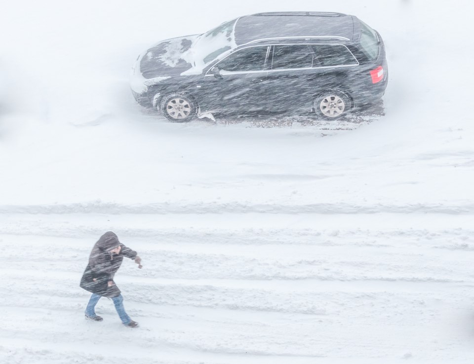
Snow squalls tapering to flurries.
Hazards:
Northwesterly winds gusting to 80 km/h, resulting in local blowing snow and reduced visibility.
Timing:
Ending early this morning.
Discussion:
Snow squalls will taper to flurries and strong winds will gradually diminish early this morning.
Snow squalls cause weather conditions to vary considerably; changes from clear skies to heavy snow within just a few kilometres are common. Visibility will be suddenly reduced to near zero at times in heavy snow and blowing snow. Consider postponing non-essential travel until conditions improve. Road closures are possible.
Please continue to monitor alerts and forecasts issued by Environment Canada. To report severe weather, send an email to [email protected] or tweet reports using #ONStorm.
*****
Special weather statement in effect for:
- Sault Ste. Marie - St. Joseph Island
- Searchmont - Montreal River Harbour - Batchawana Bay
Strong winds continue early this morning.
Strong westerly winds gusting up to 70 or 80 km/h are forecast to continue into early this morning in the wake of a strong cold front.
Winds are expected to ease from west to east in the next few hours.
Strong winds may toss loose objects and cause tree branches to break. Isolated utility outages may occur.
Please continue to monitor alerts and forecasts issued by Environment Canada. To report severe weather, send an email to [email protected] or tweet reports using #ONStorm.
*************************