WEATHER STATEMENT
ENVIRONMENT CANADA
**********************
Snow squall watch in effect for:
• Sault Ste. Marie - St. Joseph Island
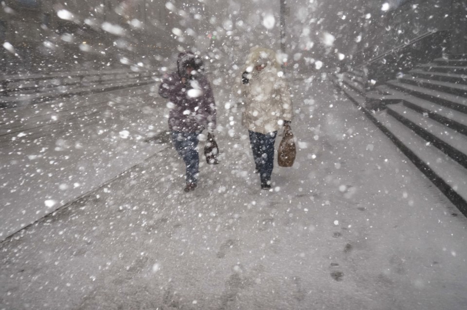
Snow squalls are expected to develop. Under the snow squall bands, visibilities will be significantly reduced due to the heavy snow, and snow will quickly accumulate.
Snow is expected today into this evening with total snowfall amounts of 10 to 15 cm possible.
Snow associated with a low pressure system will continue this morning into early this afternoon. Later this afternoon conditions will become favourable for a period of lake effect snow squalls. These snow squalls are expected to develop southeast of Whitefish Bay late this afternoon and this evening.
Environment and Climate Change Canada is closely monitoring the situation and will update messages as required.
Travel may be hazardous due to sudden changes in the weather. Visibility may be suddenly reduced at times in heavy snow. Surfaces such as highways, roads, walkways and parking lots may become difficult to navigate due to accumulating snow.
Snow squall watches are issued when conditions are favourable for the formation of bands of snow that could produce intense accumulating snow or near zero visibilities.
Please continue to monitor alerts and forecasts issued by Environment Canada. To report severe weather, send an email to [email protected] or tweet reports using #ONStorm.
**********************
Special weather statement in effect for:
• Agawa - Lake Superior Park
• Searchmont - Montreal River Harbour - Batchawana Bay
Widespread snowfall is expected today.
Snow has begun over the area and will become heavier through the day. An additional 5 to 10 cm of snow is expected by early this evening. The heaviest snow is expected to fall later this morning for areas near Lake Superior and during the afternoon for areas closer to the Ontario-Quebec border. Visibilities may be suddenly reduced in heavier snow.
This snow is associated with a developing low pressure system that will track across Northeastern Ontario later today. Snow will taper to scattered flurries this evening as the low pressure system moves into Quebec.
Environment and Climate Change Canada is closely monitoring the situation and will issue additional messages as required.
Please continue to monitor alerts and forecasts issued by Environment Canada. To report severe weather, send an email to [email protected] or tweet reports using #ONStorm.
**********************