WEATHER ALERT
ENVIRONMENT CANADA
********************
Snow squall warning in effect for:
- Sault Ste. Marie - St. Joseph Island
- Searchmont - Montreal River Harbour - Batchawana Bay
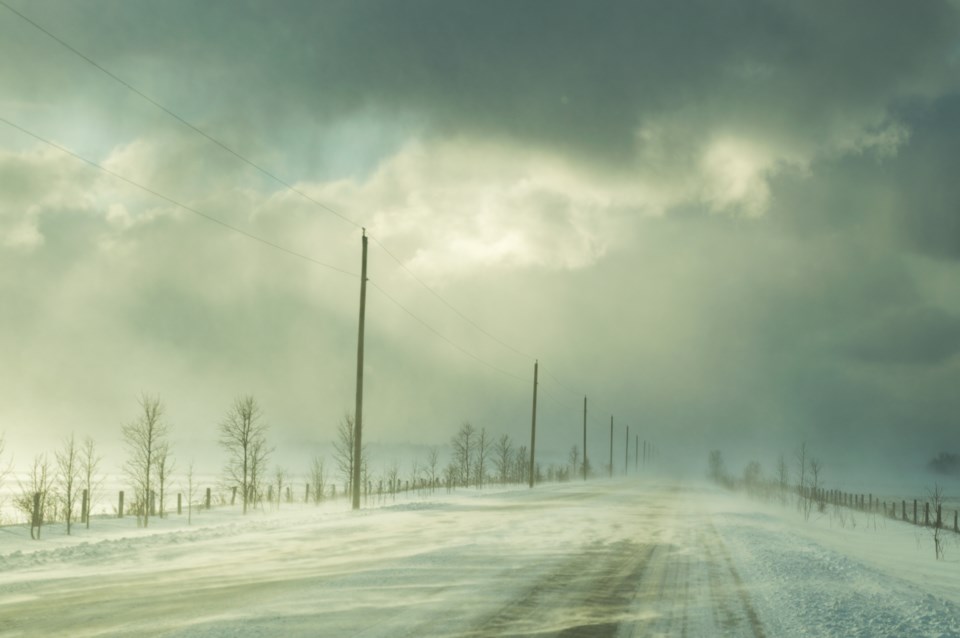
Snow squalls are expected. Under the snow squall bands, visibilities will be significantly reduced due to the heavy snow combined with blowing snow, and snow will quickly accumulate.
Snow squalls are developing this evening to the lee of Lake Superior. Local amounts of 15 cm or more within a 12-hour period are likely.
The snow squall activity is expected to diminish later Monday morning.
Snow squalls cause weather conditions to vary considerably; changes from clear skies to heavy snow within just a few kilometres are common. Visibility will be suddenly reduced to near zero at times in heavy snow and blowing snow. Travel is expected to be hazardous due to reduced visibility.
Snow squall warnings are issued when bands of snow form that produce intense accumulating snow or near zero visibilities.
Please continue to monitor alerts and forecasts issued by Environment Canada. To report severe weather, send an email to [email protected] or tweet reports using #ONStorm.
********************