ENVIRONMENT CANADA
***********************
Snow squall watch issued for:
Wawa - White River - Pukaskwa
Agawa - Lake Superior Park
Searchmont - Montreal River Harbour - Batchawana Bay
Current details:
A sharp cold front will cross areas near Lake Superior Tuesday morning ushering in much colder air. Rain will quickly transition to lake effect snow.
At this point, the most intense snow squall activity is expected to develop Tuesday morning and affect areas from near Montreal River towards Wawa. The snow squalls will likely shift southward Tuesday evening, but remain north of the city of Sault Ste. Marie.
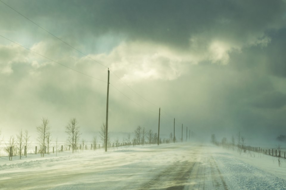
Localized snowfall amounts of 10 to 15 cm per 12 hours are possible. In addition, gusty west winds to 70 km/h will create areas of blowing snow giving poor visibility.
Travel may be hazardous due to sudden changes in the weather. Visibility may be suddenly reduced at times in heavy snow. Road closures are possible.
Snow squall watches are issued when conditions are favourable for the formation of bands of snow that could produce intense accumulating snow or near zero visibilities.
Please continue to monitor alerts and forecasts issued by Environment Canada. To report severe weather, send an email to [email protected] or tweet reports using #ONStorm.
***********************