ENVIRONMENT CANADA
**************************
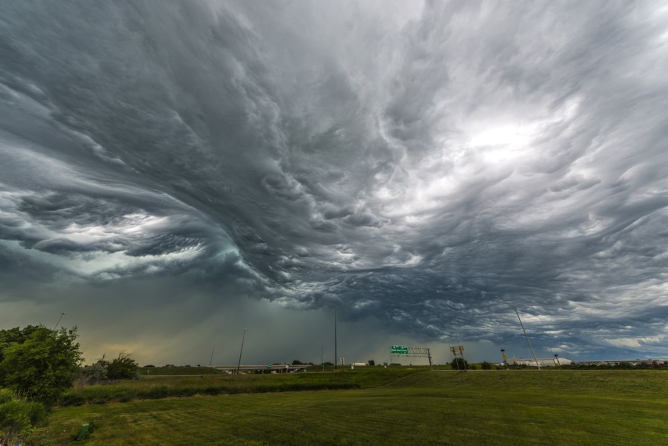
Severe thunderstorm watch in effect for:
- Wawa - Pukaskwa Park
- White River - Dubreuilville
Conditions continue to be favourable for the development of severe thunderstorms until late this evening.
Thunderstorms in the vicinity of Lake Superior will continue moving east. Isolated thunderstorms may also become severe from Kenora towards Thunder Bay this evening and track eastward. Strong wind gusts, large hail and heavy rain are all possible with these thunderstorms.
Large hail can damage property and cause injury. Strong wind gusts can toss loose objects, damage weak buildings, break branches off trees and overturn large vehicles.
The Office of the Fire Marshal and Emergency Management recommends that you take cover immediately if threatening weather approaches.
Please continue to monitor alerts and forecasts issued by Environment Canada. To report severe weather, send an email to [email protected] or tweet reports using #ONStorm.
For more information on emergency preparedness, go online.
**************************