WEATHER ALERT
ENVIRONMENT CANADA
Searchmont - Montreal River Harbour - Batchawana Bay, Ont.
Sault Ste. Marie - St. Joseph Island, Ont.
Severe thunderstorm watch issued for:
Searchmont - Montreal River Harbour - Batchawana Bay, Ont. (048820)
Sault Ste. Marie - St. Joseph Island, Ont. (048830)
Elliot Lake - Ranger Lake, Ont. (049200)
Blind River - Thessalon, Ont. (049910)
Manitoulin Island, Ont. (049930)
Current details:
A line of thunderstorms over Michigan is tracking northeastward towards the western portions of the Nickel Belt and Manitoulin Island. Some of the thunderstorms in the line may be capable of producing strong wind gusts, torrential rainfall and hail. The greatest threat for severe weather will be from mid-afternoon until early this evening.
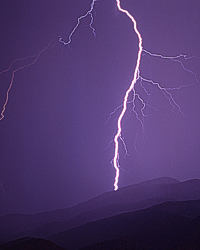
Remember, severe thunderstorms can produce tornadoes. Be prepared for severe weather. Take cover immediately, if threatening weather approaches. In Canada, lightning kills up to 10 people every year. Remember, when thunder roars, go indoors. Emergency Management Ontario recommends that you take cover immediately, if threatening weather approaches. Environment Canada meteorologists will update alerts as required, so stay tuned to your local media or Weatheradio. Email reports of severe weather to [email protected] or tweet with the hashtag #ONStorm. For more information: http://www.
**************************