NEWS RELEASE
MINISTRY OF NATURAL RESOURCES AND FORESTRY
*****************
The Ministry of Natural Resources and Forestry - Sault Ste. Marie District is advising area residents that a Flood Warning is in effect for the District.
Residents of the Sault Ste. Marie District should keep a close watch on water conditions, regularly check for updated messages and stay away from fast-moving rivers and streams.
The ministry is closely monitoring the weather and developing watershed conditions. Further updates will be issued as appropriate.
Technical Information
Description of Weather System: According to local forecast significant rainfall is expected tonight with amounts of 10 to 20 mm expected. The ground in some locations is already near saturation or remains partially frozen and as a result has little ability to absorb further rainfall.
This rainfall is due to a low pressure system which will track over northeastern Ontario today. Rain will taper to scattered showers on Friday. A mix of sun and cloud is expected for the weekend and until Tuesday with no further expected rainfall and seasonably warm temperatures from 12-14 degrees.
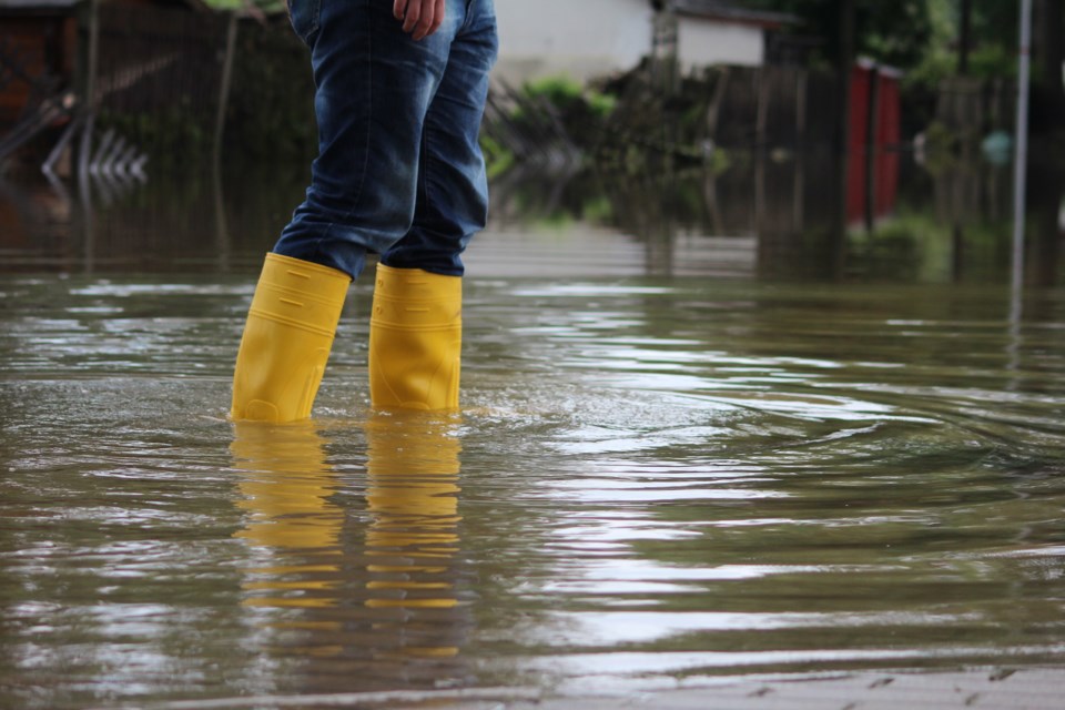
Description of Current Conditions: Today’s rainfall has dropped in excess of 21 mm of moisture thus far resulting in a sudden rise of water levels. Residents within the Goulais River Watershed are advised that some areas within the flood plain are approaching flood critical levels. Flooding in some low lying areas may be occurring and runoff from rain and melting snow at the north end of the watershed may temporarily increase water flows and levels. Other residents of the Sault Ste. Marie District are advised that low lying areas may also be near flood critical levels. A close watch on local forecasts and conditions is recommended.
Expiry Date
This message will be in effect until (or updated before): Monday, May 13 2019, 9 a.m.
Terminology: Notification Level Definitions
Watershed Conditions Statement - Flood Outlook: gives early notice of the potential for flooding based on weather forecasts calling for heavy rain, snow melt, high winds or other conditions
Watershed Conditions Statement - Water Safety: indicates that high flows, melting ice or other factors could be dangerous for such users as boaters, anglers and swimmers but flooding is not expected.
Flood Watch: potential for flooding exists within specific watercourses and municipalities
Flood Warning: flooding is imminent or occurring within specific watercourses and municipalities.
Learn More
- The Surface Water Monitoring Centre public webpage
- Environment Canada bulletins
- A close watch on local conditions and weather forecasts from Environment Canada is recommended.
*******************