WEATHER ALERTS
ENVIRONMENT CANADA
**************************
Snow squall warning in effect for:
• Sault Ste. Marie - St. Joseph Island
• Searchmont - Montreal River Harbour - Batchawana Bay
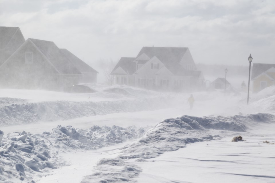
Snow squalls continue to affect the Sault Ste. Marie and Batchawana Bay area. They will likely persist into tonight. There is a potential for localized heavy snow accumulations of 15 to 30 cm by Tuesday morning.
In addition, local blowing snow will contribute to very poor visibility at times.
Visibility will be suddenly reduced to near zero at times in heavy snow and blowing snow. Travel is expected to be hazardous due to reduced visibility in some locations.
Snow squall warnings are issued when bands of snow form that produce intense accumulating snow or near zero visibilities.
Please continue to monitor alerts and forecasts issued by Environment Canada. To report severe weather, send an email to [email protected] or tweet reports using #ONStorm.
**************************
Extreme cold warning in effect for:
• Wawa - Pukaskwa Park
• White River - Dubreuilville
• Chapleau - Missinaibi Lake
A period of very cold wind chills is expected.
A very cold airmass combined with brisk winds will generate extreme wind chill values near minus 40 over the next few nights. However, they will moderate during the daytime hours.
Extreme cold puts everyone at risk.
Watch for cold related symptoms: shortness of breath, chest pain, muscle pain and weakness, numbness and colour change in fingers and toes.
Extreme cold warnings are issued when very cold temperatures or wind chill creates an elevated risk to health such as frost bite and hypothermia.
Please continue to monitor alerts and forecasts issued by Environment Canada. To report severe weather, send an email to [email protected] or tweet reports using #ONStorm.
**************************
