NEWS RELEASE
MINISTRY OF NATURAL RESOURCES AND FORESTRY
*************************
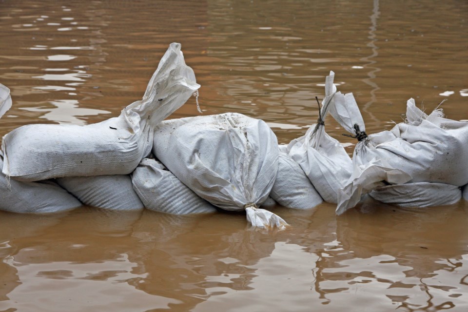
The Ministry of Natural Resources and Forestry - Sault Ste. Marie District is advising area residents that a flood watch is in effect for the Goulais River.
Residents of the Sault Ste. Marie District area should keep a close watch on water conditions, regularly check for updated messages and stay away from fast-moving rivers and streams. Residents within the Goulais River Watershed are advised that ice jams are a possibility and that river conditions should be monitored closely as water levels can change very quickly if ice jams occur.
MNRF is closely monitoring the weather and developing watershed conditions. Further updates will be issued as appropriate.
Technical Information
Description of Weather System: A low pressure system will approach the province from the west over the next several days. As the system moves eastward, mainly sunny conditions will be replaced by cloudy conditions with showers expected on Saturday.
Water levels and stream flows across much of northeastern Ontario are moderately elevated from ongoing spring snow melt and recent precipitation events.
Above freezing temperatures and precipitation are likely to further degrade the snowpack and produce continued runoff, increasing levels and flows. This will continue with forecast daytime highs over the next several days between 4 degrees and 10 degrees celcius and with nighttime temperatures near or above freezing. Approximately 5 mm of rain are forecasted for Saturday with a total of 10-15 mm possible for the upcoming week.
Description of Current Conditions: Although water levels are currently below critical thresholds, the Goulais River is showing signs of breaking up with some sections of the river now being ice free.
Risks may include degradation of river ice and ice jam related flooding from increasing temperatures and flows, fast moving cold water with rapidly changing conditions, and flooding of low-lying areas with a history of flooding.
A close watch on local forecasts and water conditions is recommended.
Expiry Date
This message will be in effect until (or updated before): Friday, April 10 2020, 12:00 a.m .
Terminology: Notification Levels
Watershed conditions statement - flood outlook: gives early notice of the potential for flooding based on weather forecasts calling for heavy rain, snow melt, high winds or other conditions
Watershed conditions statement - water safety: indicates that high flows, melting ice or other factors could be dangerous for such users as boaters, anglers and swimmers but flooding is not expected.
Flood watch: potential for flooding exists within specific watercourses and municipalities
Flood warning: flooding is imminent or occurring within specific watercourses and municipalities.
A close watch on local conditions and weather forecasts from Environment Canada is recommended.
Environment Canada bulletins can be found at weather.gc.ca/.
The Surface Water Monitoring Centre public webpage can be found at www.ontario.ca/flooding.
Tweet your reports of flooding with the hashtag #ONFlood.
*************************