An area of heavy showers and thunderstorms crossing Lake Superior will begin tonight, says the Sault Ste. Marie Region Conservation Authority.
Rainfall and thunderstorms moving across the region may give local amounts of 20 to 40 millimetres tonight into early Wednesday morning.
While local rivers, creeks, streams and the flood control channels owned and operated by the authority are currently flowing at normal levels, should the forecasted rainfall materialize, it will cause levels and flows to rise across the watershed.
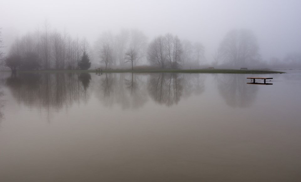
Localized flooding of low-lying areas and areas with poor drainage is possible and the flood control channels will experience a rise in water levels.
The authority reminds area residents and visitors to remember that the water in rivers, streams and the channels will be fast flowing during and after the rainfall event and people should use extreme caution when close to rivers, creeks, and streams.
High water levels and flows can be especially dangerous and stream banks can be slippery. Please keep children and pets away from fast-flowing rivers and streams.
This statement is in effect until July 17, 2020.
