ENVIRONMENT CANADA
***********************
Extreme Cold Warning in effect for:
- Wawa - Pukaskwa Park
- White River - Dubreuilville
- Agawa - Lake Superior Park
- Searchmont - Montreal River Harbour - Batchawana Bay
- Elliot Lake - Ranger Lake
- Blind River - Thessalon
- Espanola - Killarney
- Chapleau - Missinaibi Lake
- Gogama - Foleyet
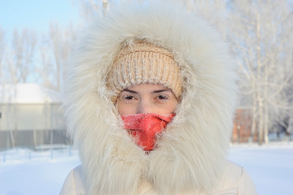
A prolonged period of very cold wind chills is expected.
Wind chill values of minus 40 to minus 45 are expected tonight over much of Northern Ontario.
This bitterly cold Arctic airmass will remain in place through the weekend.
Risks are greater for young children, older adults, people with chronic illnesses, people working or exercising outdoors, and those without proper shelter.
Dress warmly. Dress in layers that you can remove if you get too warm. The outer layer should be wind resistant.
Cover up. Frostbite can develop within minutes on exposed skin, especially with wind chill.
If it's too cold for you to stay outside, it's too cold for your pet to stay outside.
Please continue to monitor alerts and forecasts issued by Environment Canada. To report severe weather, send an email to [email protected] or tweet reports using #ONStorm.
***********************