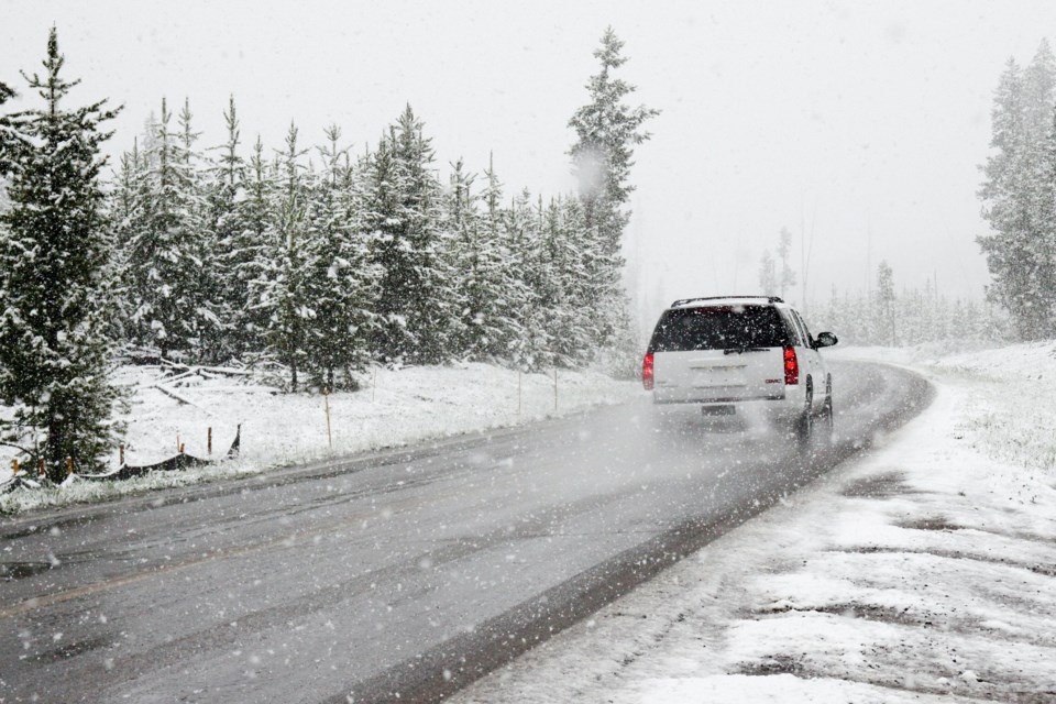
Sault Ste. Marie has declared a significant weather event with respect to current hazardous snowfall accumulations.
Environment Canada has issued a winter storm watch for the city with peak snowfall rates of 5-10 cm. Snow and ice pellet accumulations of 20
to 30 cm are possible, the city says in a news release.
Reduced visibility due to heavy and blowing snow, freezing rain with ice build-up of 2-3 mm and strong wind gusts is possible. Conditions are expected into late afternoon and winter storm conditions overnight tonight into Saturday afternoon. Motorists and pedestrians should expect hazardous winter conditions.
Public Works crews are working during the event, but it may take longer than normal to ensure public safety and that the roadways, sidewalks, and transit bus stops meet normal maintenance standards, the release adds. Public Works continues to monitor the weather, patrol the roadways, and deploy all available crews to address any snow and ice accumulation.
During this time, all roads and sidewalks maintained by the city are considered to be in a “state of repair” until further notice.
Drivers and pedestrians should use an appropriate level of caution when travelling during this event.
The parking by-law remains in effect with motorists not permitted to park on city streets during the winter months between midnight and 6 a.m. however, during a winter event, motorists are also asked to not park on city streets during the day. This will assist in maintaining the roads.