WEATHER ALERT
ENVIRONMENT CANADA
*************************
Fog advisory in effect for:
- Agawa - Lake Superior Park
- Sault Ste. Marie - St. Joseph Island
- Searchmont - Montreal River Harbour - Batchawana Bay
- Elliot Lake - Ranger Lake
- Blind River - Thessalon
- Espanola - Killarney
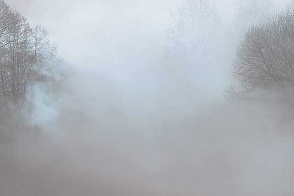
Near zero visibility in fog is expected or occurring.
Fog patches will become more widespread this evening, with areas of quite dense fog expected tonight into Saturday morning.
In addition, patchy freezing drizzle and even some brief freezing rain are expected over many localities as a weak weather system moves through.
Hazardous winter driving conditions from very low to at times nil visibility in dense fog are expected. Untreated roads may also be slippery and icy tonight into Saturday morning.
Fog is expected to become more patchy again beginning later Saturday morning
Fog will slowly become more patchy this afternoon and will persist tonight then into Saturday courtesy of this very mild and moist air mass.
Visibility may be significantly and suddenly reduced to near zero. If travelling, be prepared for areas of near-zero visibility. If visibility is reduced while driving, slow down, watch for tail lights ahead and be prepared to stop.
Fog advisories are issued when near zero visibilities in fog are expected or occurring.
Please continue to monitor alerts and forecasts issued by Environment Canada. To report severe weather, send an email to [email protected] or tweet reports to #ONStorm.