WEATHER ALERTS
ENVIRONMENT CANADA
***************************
Special weather statement in effect for:
• Agawa - Lake Superior Park
• Sault Ste. Marie - St. Joseph Island
• Searchmont - Montreal River Harbour - Batchawana Bay
• Blind River - Thessalon
• Elliot Lake - Ranger Lake
Mild temperatures and potentially heavy rain today and tonight.
Periods of rain, heavy at times, are expected to begin this morning and continue tonight. Rainfall amounts in the 15 to 25 mm range are expected by early Friday morning. A few isolated thunderstorms are also possible today and tonight.
The heavy rain will combine with mild temperatures near 7 degrees Celsius to produce potentially significant snowmelt and localized ponding on streets and other low lying areas.
The heavy rain and mild temperatures are associated with a strong Colorado low that will transition across northern Ontario tonight.
Please continue to monitor alerts and forecasts issued by Environment Canada. To report severe weather, send an email to [email protected] or tweet reports using #ONStorm.
***************************
Rainfall warning in effect for:
• Wawa - Pukaskwa Park
• White River - Dubreuilville
Significant rainfall, mild temperatures and melting snow, is expected through this evening.
Rainfall amounts in the 20 to 30 mm range are expected by the time the rain transitions to snow late this afternoon or tonight. The heaviest rainfall amounts are likely near the north shore of Lake Superior through this period.
The heavy rain will combine with mild temperatures in the mid single digits to result in potentially significant snowmelt and localized ponding on streets and other low lying areas.
The heavy rain and mild temperatures are associated with a strong Colorado low that will transition across Northern Ontario tonight.
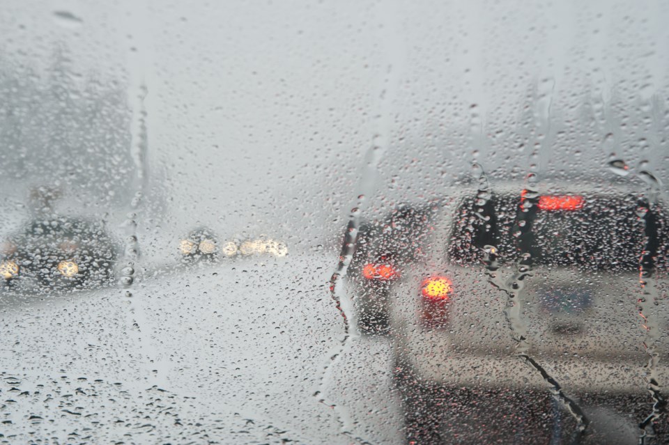
If visibility is reduced while driving, turn on your lights and maintain a safe following distance. Localized flooding in low-lying areas is possible.
Please continue to monitor alerts and forecasts issued by Environment Canada. To report severe weather, send an email to [email protected] or tweet reports using #ONStorm.
***************************