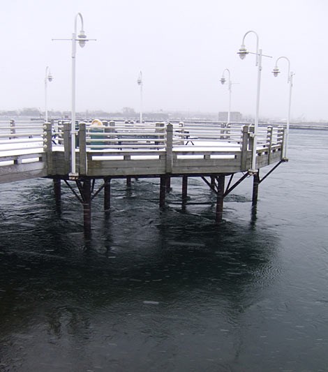
At long last, snow has arrived in the Sault and area.
These photos show that it really is wintertime again - complete with snow squalls.
And, according Environment Canada, the white stuff will keep on coming for a while.
Snowfall amounts of five to 10 centimetres are expected tonight, with 10 to 20 more centimetres likely on Tuesday.
The forecast is bound to bring smiles to the faces of those who enjoy winter sports and cold weather activities, but frowns might reappear - rain could return by Friday.
Here's the very latest outlook, as provided by Environment Canada:
************************* Tonight Flurries and local snow squalls.
Local amount 5 to 10 cm.
Wind west 30 km/h.
Low minus 6.
Tuesday Flurries at times heavy and local snow squalls.
Local amount 10 to 20 cm.
Wind northwest 30 km/h gusting to 50.
High minus 3.
Tuesday night Flurries - amount 2 cm.
Wind northwest 30 km/h becoming light in the evening.
Low minus 13.
Wednesday Cloudy with 60 percent chance of flurries.
High minus 4.
Thursday Flurries or rain showers.
Low minus 6. High plus 2.
Friday Periods of rain.
Low zero. High plus 5.
*************************
