Eighty-five kilometers northwest of Sault Ste. Marie, between Pancake Bay and Lake Superior Provincial Parks imagine: A natural harbour by a flat grassing field, 26 kilometers across an isthmus to Whitefish Point, U.S. where history reaches deep.
Native wars, a fishing community, a graveyard, fur trade, copper diggings, basalt caves, food gathering, voyageur canoes, a Hudson Bay Post, a wharf lined with six fishing or ferry service, tourist establishments, a World War ll allied shooting range, a fleet of rescue boats, a lighthouse keeper walking back and forth between the harbour and the Coppermine Point Lighthouse, all part of the history of this continent where the Great Lakes provided the transportation system to settle North America.
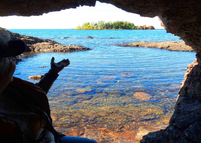
What remains at Old Mamainse Harbour is a ghost of the past.
Old Mamainse Harbour History
6,000 years ago, Natives started mining copper in the Cape Mamainse area.
Today, there is still local mining exploration (Lake Superior Copper) at the New Mamainse Harbor 7-kilometers north of the older harbour.
In the 1600's, Cape Mamainse and the Coppermine Point Lighthouse were already on maps, defining the Canadian entrance to Whitefish Bay or greater Lake Superior.
Voyageurs stopped to trade at the local trading post, while natives gathered local nuts, meat, and berries.
Travelers took shelter from the conflicting cape winds in the harbour.
Wars were fought when Iroquois natives from the U.S. decided to invade local Ojibway food stocks.