 The Sault Ste. Marie region woke Friday morning to weather history.
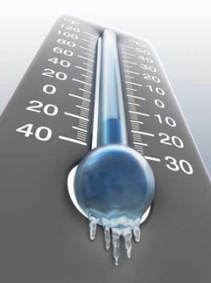
The coldest temperature ever recorded in the city on this date was broken as lows dropped to near -20°C.
The old record was set in 1976 at -17°C.
Some areas around the Sault were even colder this morning; Hilton Beach was -21°C, Searchmont was -23°C and Montreal River was -33°C!
Even though the city broke its record low temperature, it was the hotspot in the region this morning.
Friday will see some sunshine in the morning, but clouds build later in the day.
Winds will be light, so extreme wind chills shouldn’t be an issue.
Temperatures will climb to near -6°C this afternoon.
With the cloud cover and weak southerly flow this evening, we can expected temperatures to continue on a slow climb upwards into Saturday.
Saturday brings a grey day with 2-4cm of flurries during the day and a risk of showers or freezing drizzle in the evening hours.
Temperatures climb through the day, breaking the freezing mark in the afternoon, and climbing towards 2-4°C in the evening.
I wouldn't be surprised to see some fog lingering while temperatures are near the freezing mark.
Sunday will start the day out with the highest temperatures in the morning, where they will be just above freezing.
Morning scattered showers and/or freezing rain will give way to flurries in the afternoon as temperatures quickly drop below freezing with the passage of a cold front.
Next week brings a return to cold temperatures.